


The urgent need to depict the environment in which we live is very ancient, dating back to prehistory, in which man intensely observed the territory and tried to give it a shape, albeit an embryonic one.
Unfortunately, many of these testimonies have not reached us intact, since prehistoric man used perishable materials such as bones, wood, animal skin, what he had on hand every day, as a support.
The first examples of images of the Earth are present in the numerous caves and caves, both along the Mediterranean and in the Nordic countries, and date back to the Paleolithic, Neolithic and Bronze Ages.
These types of rock graffiti are a form of communication still present today, for example in civilizations that do not know writing, such as the Aboriginal people of Australia.

The first forms of geographical maps had a concrete objective, such as in Mesopotamia and Egyptian culture, in which they tried to note the course of the Nile river, a source of sustenance for the entire civilisation, its floods and dry periods which influenced the sowing and collected.
From a nomadic hunter to a sedentary farmer, he then evolves into a conqueror and increasingly feels the need to depict the world in which he lives: this is the case, for example, of the Vikings, mythical warriors and sailors.
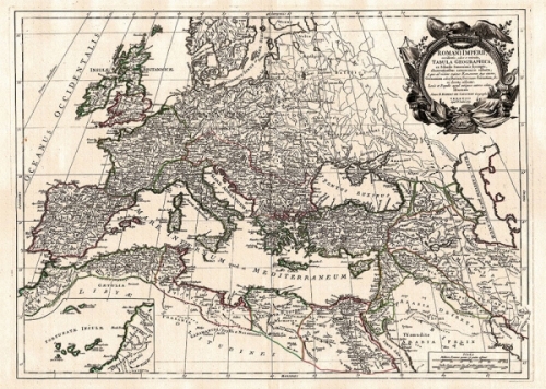
Cartography became increasingly refined during the Hellenic Greek culture, until it reached its maximum expression in the Roman Empire: the maps do not only bear witness to seas and lands to be conquered and subjugated, but consist of a primordial form of modern typography, in which streets, streets, centuries, outlines of neighborhoods, aqueducts and places of politics, power and entertainment are noted.
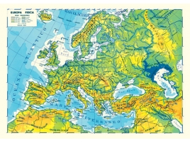
The Western world was subsequently crossed over the centuries by a real revolution in the sector of astronomy and geography, from here the first planispheres, atlases and the globe were born, the three-dimensional object that shows the hemisphere as we conceive it today.
Obviously, current technology has made such great strides that it is possible to visualize a random point in the world in real time, looking at it on the monitor of your personal computer, thanks to satellites and latest generation futuristic devices.
-
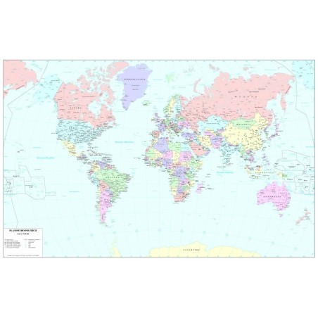
Political map of the world cm 110 x 70
Political color map of the the world, with all the limits of the States, ca...
-
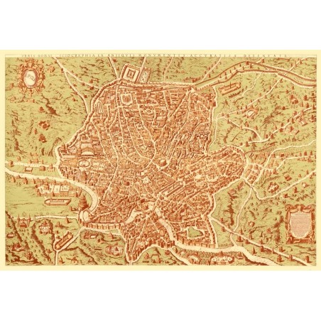
Antique map of Rome
Color reproduction of an ancient map of Rome from an original of 1570. Si...
-
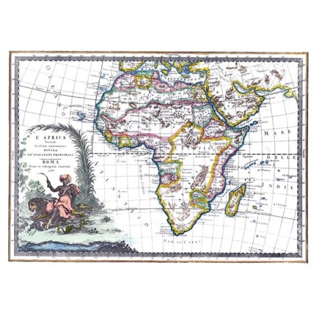
Antique map of Africa
Color reproduction of an ancient map of Africa from an original of 1788. S...
-
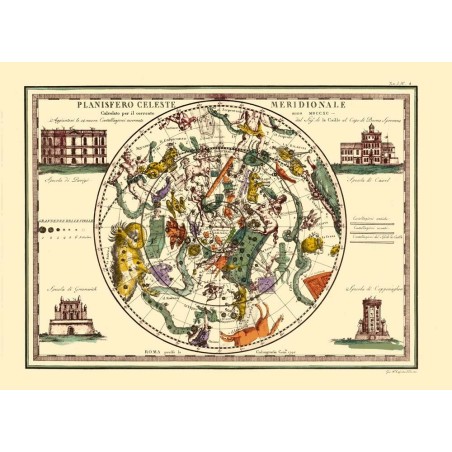
Antique map of the southern celestial planisphere
Color reproduction of an ancient map of the southern celestial planisphere ...