100% Customizable +39 06 5816427 Made in Italy
Via Francesco Domenico Guerrazzi, 15 - 00152 Roma
info@visceglia.it
Tel. +39 06 5816427
VAT Nº 09565210581 C.C.I.A.A. di Roma n. REA 787470
Plan of the city of Milan with the boundaries of postal codes and their corresponding numbers. Open size:...
View this product-20%
40,00 € 50,00 €
In Stock
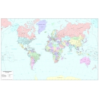
Political color map of the the world, with all the limits of the States, capitals and major cities. Scale:...
View this product-31%
45,00 € 65,00 €
In Stock
Political road map of northernl Italy. Includes the territory ranging from Piemonte to the Emilia Romagna....
View this product-14%
60,00 € 70,00 €
In Stock
Political map of the world. Sepia color printing makes it similar to prints while preserving the political...
View this product-31%
45,00 € 65,00 €
In Stock
Political road map of northernl Italy. Includes the territory ranging from Piemonte to the Emilia Romagna....
View this product-25%
45,00 € 60,00 €
In Stock
Italy road map printed in color , with the signs of the roads and distances in kilometers Size: cm 140 x...
View this product-18%
45,00 € 55,00 €
Available
Lazio’s regional map, printed in black and white, with all provincial and municipal boundaries with their...
View this product-40%
45,00 € 75,00 €
In Stock
Political color map of the the world, with all the limits of the States, capitals and major cities. Scale:...
View this product-31%
45,00 € 65,00 €
In Stock
Political color map of the the world, with all the limits of the States, capitals and major cities. Scale:...
View this product-31%
45,00 € 65,00 €
In Stock
Lombardy regional paper, printed in black and white, with all provincial and municipal boundaries with...
View this product-38%
50,00 € 80,00 €
In Stock
Administrative map of northenl Italy, printed in black and white. Includes the territory ranging from...
View this product-14%
60,00 € 70,00 €
In Stock
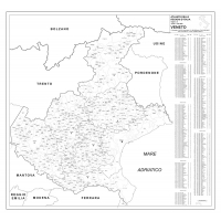
Veneto regional map, printed in black and white, with all provincial and municipal boundaries with their...
View this product-40%
45,00 € 75,00 €
In Stock
Plan of the city of Turin with the boundaries of postal codes and their corresponding numbers. Open size:...
View this product-20%
40,00 € 50,00 €
In Stock
Color reproduction of an ancient map of New Holland and New Guinea by an original of 1798. Size: 50 x 70 cm
View this product-27%
40,00 € 55,00 €
In Stock
-25%
36,00 € 48,00 €
Available
Political road map of central Italy. Includes the territory ranging from Tuscany to the Abruzzo with the...
View this product-14%
60,00 € 70,00 €
In Stock
Campania’s regional map, printed in black and white, with all provincial and municipal boundaries with...
View this product-40%
45,00 € 75,00 €
In Stock
Piemonte regional paper, printed in black and white, with all provincial and municipal boundaries with...
View this product-40%
45,00 € 75,00 €
In Stock
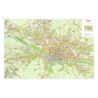
Plan of the city of Florence with the Division of postal codes and their corresponding numbers. Open...
View this product-20%
40,00 € 50,00 €
In Stock
The list of streets of Rome is an excel database of more than 16,000 locations in the entire city of Rome....
View this product-50%
100,00 € 200,00 €
In Stock
Plan of the city of Naples with the boundaries of postal codes and their corresponding numbers. Open size:...
View this product-20%
40,00 € 50,00 €
In Stock
Reproduction of an ancient map of the Roman Empire of 1779.
View this product-27%
40,00 € 55,00 €
Available
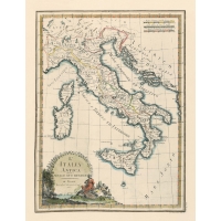
Color reproduction of an ancient map of Italy of 1800. Size: 50 x 70 cm.
View this product-27%
40,00 € 55,00 €
In Stock
Friuli Venezia Giuliae’s regional map, printed in black and white, with all provincial and municipal...
View this product-36%
35,00 € 55,00 €
In Stock
Blog Ultimi Commenti